


Amarnath Yatra: J-K Police Deploy Geo-Fencing, Facial Recognition To Enhance Security
The 38-day annual Amarnath pilgrimage to the 3,880-metre-high holy cave shrine in South Kashmir commenced on July 3 and will conclude on August 9.
Trending Photos

 14
14- 7
- 13
- 10
)
)
)
)
 "Amarnath Yatra: J-K Police Deploy Geo-Fencing, Facial Recognition To Enhance Security") Representative image.
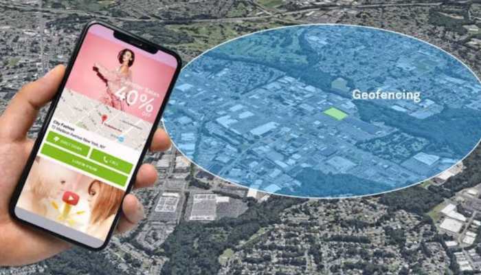
Representative image. Jammu and Kashmir Police have introduced geo-fencing surveillance to enhance the security of Amarnath Yatra pilgrims.
Authorities have deployed geo-fencing along NH-44 and yatra routes to monitor pilgrim and vehicle movements, detect unauthorized entries, and prevent incidents such as terror attacks.
What is geo-fencing?
Geo-fencing is a location-based technology that creates virtual boundaries around a specific geographic area to monitor and manage activities within that zone.
A geo-fence is a virtual perimeter established around a specific area, such as the Srinagar-Jammu National Highway (NH-44) or key Amarnath Yatra routes like Pahalgam and Baltal.
This boundary is created using coordinates (latitude and longitude) plotted on a digital map via software platforms, often integrated with GPS, cellular, or Wi-Fi technologies.
How does geo-fencing work?
Geo-fencing relies on tracking devices such as smartphones, GPS-enabled vehicles, or RFID tags (used for Amarnath Yatra pilgrims and vehicles). These devices continuously transmit location data, which is monitored by the surveillance system to determine whether they are inside, entering, or exiting the geo-fenced area. The system uses software to analyze location data in real time. If a tracked device or individual crosses the geo-fence boundary, the system triggers predefined actions, sending alerts, notifications, alarms, or hooters to a central monitoring hub, as seen in Kulgam’s security setup.
This notifies security personnel for an immediate response, which is crucial for detecting suspicious movements during the yatra. In Kulgam, geo-fencing is paired with high-resolution CCTV cameras, facial recognition systems (FRS), and other surveillance tools to enhance monitoring.
If a vehicle or pilgrim enters a restricted zone, the system can cross-reference their identity with FRS databases to flag known threats or suspicious individuals. Location data is processed through a centralized platform, often cloud-based, that integrates with security databases to identify patterns or anomalies.
A top police official said that geo-fencing enables rapid response to potential threats, such as unauthorized movements, by alerting police and CRPF units deployed along the yatra routes. GPS provides precise location tracking for devices within the geo-fenced area.
The geo-fencing system works in tandem with FRS, drones, and dog squads, creating a multi-layered security framework for the yatra.
Geo-fencing surveillance on highways operates by creating virtual boundaries to monitor and secure the Amarnath Yatra routes, using GPS, RFID, and integrated systems to track movements and detect threats in real time. Its deployment reflects a strategic use of technology to enhance public safety in a high-risk region, though it must balance security needs with privacy considerations.
Other security measures deployed by security forces
Earlier this year, police also installed facial recognition cameras on the yatra route. The Facial Recognition System (FRS) helps automatically scan and identify individuals by matching their facial features with existing criminal databases. This ensures that any known suspects or persons of interest are flagged instantly.
It is the first time such advanced digital surveillance tools have been employed on this scale in the district during the yatra.
Stay informed on all the latest news, real-time breaking news updates, and follow all the important headlines in india news and world News on Zee News.
Live Tv
 "Will Hindus get justice in Bengal's Murshidabad?")
 "DNA: Uproar over freebies in Delhi!")
 "DNA: AIMIM plans to field 2020 Delhi riots accused Shahrukh Pathan")
 "DNA: A report showing the reality of Bangladesh")
 "DNA: Power Theft Allegations Against SP MP Ziaur Rahman Barq")
 "DNA: Hot Tea Linked to Cancer Risk!")
 "DNA: Why Jordan Fears After Syria’s Coup?")
 "DNA: NSA Ajit Doval’s China Visit - Inside Story")
 "DNA: Gandhi Family Ruined My Career, says Mani Shankar Aiyar")
 "DNA: Ground Report- Tight Security Arrangements for Mahakumbh")
