


Earthquake With 6.3-Magnitude Strikes Eastern Indonesia’s Papua
A 6.3-magnitude earthquake struck eastern Papua, Indonesia.
Trending Photos

 7
7- 10
- 8
- 7
)
)
)
)
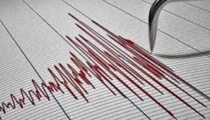 "Earthquake With 6.3-Magnitude Strikes Eastern Indonesia’s Papua") Representative Image
Representative ImageAn earthquake of magnitude 6.3 jolted the eastern Indonesian region of Papua on Tuesday, the US Geological Survey said.
The USGS reported that the quake’s epicentre, which occurred at about 5:24 pm (0824 GMT), was located roughly 193 kilometres northwest of Abepura town in Papua.
On August 7, another earthquake of magnitude 4.9 on the Richter Scale occurred at a depth of 106km.
In a post on X, the NCS said, "EQ of M: 4.9, On: 07/08/2025 20:59:00 IST, Lat: 1.03 N, Long: 98.80 E, Depth: 106 Km, Location: Northern Sumatra, Indonesia."
Indonesia lies at the convergence of several tectonic plates, making its geology highly complex. It is positioned between two continental plates including the Sahul Shelf and the Sunda Plate and two oceanic plates including the Pacific Plate and the Philippine Sea Plate.
What Is earthquake?
An earthquake is the sudden shaking or trembling of the Earth’s surface caused by the movement of rock beneath it.
Why Earthquake Happen?
Earthquakes happen because the Earth’s outer layer (crust) is broken into large pieces called tectonic plates, which are constantly moving, though very slowly.
Stay informed on all the latest news, real-time breaking news updates, and follow all the important headlines in india news andworld News on Zee News.
Live Tv
 "Will Hindus get justice in Bengal's Murshidabad?")
 "DNA: Uproar over freebies in Delhi!")
 "DNA: AIMIM plans to field 2020 Delhi riots accused Shahrukh Pathan")
 "DNA: A report showing the reality of Bangladesh")
 "DNA: Power Theft Allegations Against SP MP Ziaur Rahman Barq")
 "DNA: Hot Tea Linked to Cancer Risk!")
 "DNA: Why Jordan Fears After Syria’s Coup?")
 "DNA: NSA Ajit Doval’s China Visit - Inside Story")
 "DNA: Gandhi Family Ruined My Career, says Mani Shankar Aiyar")
 "DNA: Ground Report- Tight Security Arrangements for Mahakumbh")
